scroll for more information


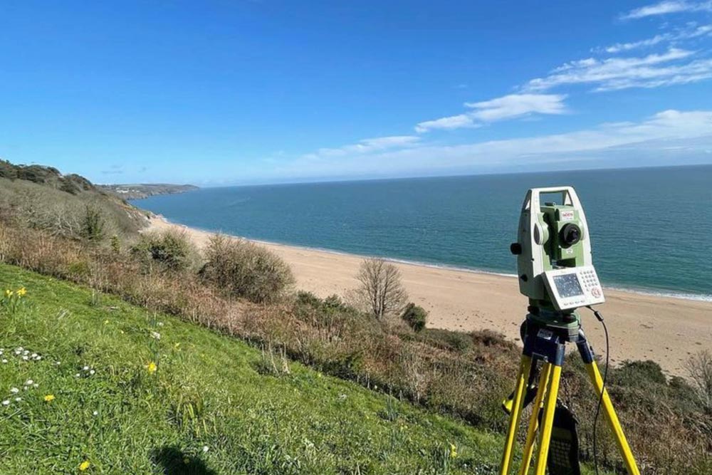
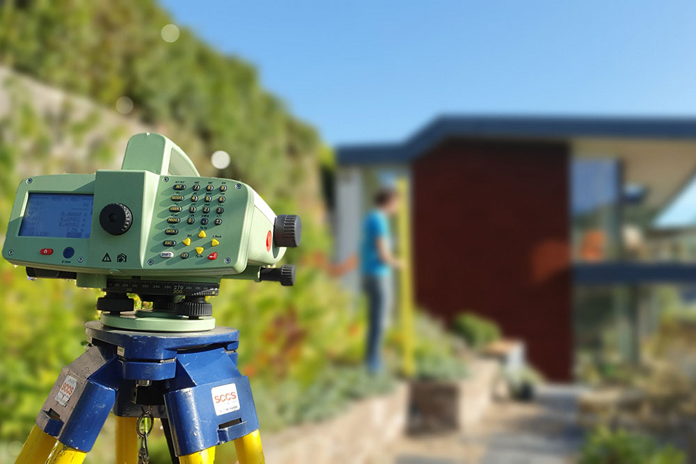
LAND SURVEYS
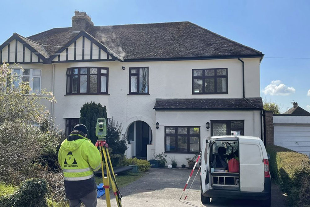
MEASURED BUILDING SURVEYS

BOUNDARIES &
CONVEYANCING
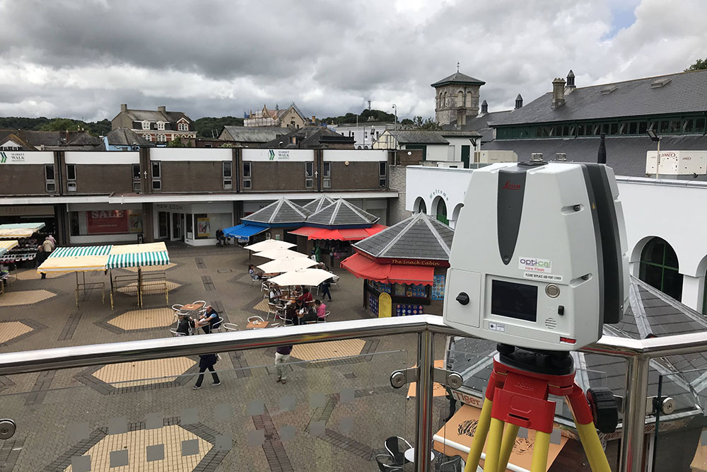
3D SCANNING

MONITORING

GET IN TOUCH
LAND SURVEYS
MEASURED BUILDING SURVEYS
BOUNDARIES &
CONVEYANCING
3D SCANNING
MONITORING
GET IN TOUCH
Welcome to Centre Line Surveys…
Founded in 1987 Centre Line Surveys have been producing high quality survey drawings tailored to suit the needs of our clients. Centre Line Surveys has continued to grow and expand providing our range of services throughout the U.K. We have been involved in many projects both close to home and worldwide, across many markets.
Using the latest in modern surveying technology and in house software we offer a service that is both cost effective and reliable.
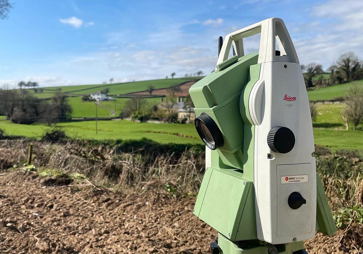
We use up to date methods for electronic data capture, accurate field measurements using state of the art ‘Total Stations’, computerised data processing and drafting facilities. We have our own unique ‘In House’ data software program that enables us to not only speed up our data capture in the field but also speeds up office editing times.
Centre Line Surveys have been producing high quality survey drawings tailored to suit the needs of specific projects. Centre Line Surveys provide measured surveys throughout the U.K. and have been involved in many projects both close to home and worldwide, across many markets.
TRADING ADDRESS:
20 Dartmouth Road,
Paignton, Devon, TQ4 5AQ
what3words address: ///serve.chest.shorts
OPEN HOURS: 9am to 5pm
© 2026 Centre Line Surveys website designed & developed by  www.luketom.com
Founded in 1987 Centre Line Surveys have been producing high quality survey drawings tailored to suit the needs of specific projects. Centre Line Surveys provide measured surveys throughout the U.K. and have been involved in many projects both close to home and worldwide, across many markets.
TRADING ADDRESS:
20 Dartmouth Road,
Paignton, Devon TQ4 5AQ
what3words address: ///serve.chest.shorts